Dashboard
This chapters is a list of available standard Dashboard instruments which are the first one in the Preference dialog’s Add button’s list.
In case you are not a longterm user of OpenCPN or otherwise have not read its documentation you may want to take a look of this list: these instruments you can find also from the built-in Dashboard, the look of them may vary between the two since in DashT there are quite a few customization options available, see corresponding chapter for possible tweaks through the .ini/.conf-file.
Configuration
The below screen capture configuration screen of the DashT Preferences dialog, its Appereance tab. It only a little bit changed - for temperature unit - in DashT compared to what is available in OpenCPN built-in Dashboard plug-in. Therefore you are invited to consult the OpenCPN buit-in documentation for their meaning. However, they are quite self-explanatory:
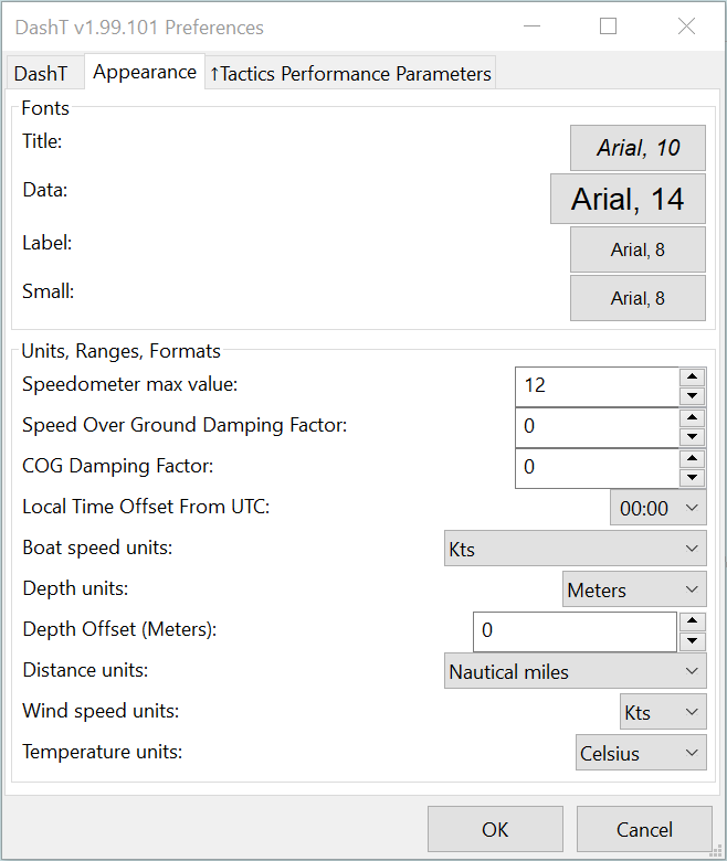
There is more, in-depth analysis made directly from the code base available in Tweaks chapter, about ini/conf-file settings.
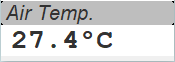
Air temperature
 |
| 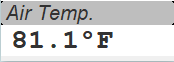
Air temperature. Only you know from where and how it is actually measured and how well the instrument is calibrated.
AWA/TWA Dial
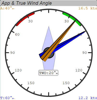
Apparent Wind Angle (upper needle) and True Wind Angle (lower needle) Dial. You get also the speed information and the True Wind Direction as numerical values.
AWA
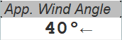
Apparent Wind Angle as numerical value.
AWA/AWS Dial
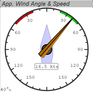
Apparent Wind Angle (needle and numerical value) and Apparent Wind Speed (numerical value) Dial.
AWS Dial
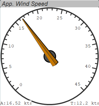
Apparent Wind Speed dial. Numerical value is given, also for the true wind speed.
AWS
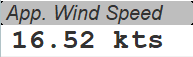
Apparent Wind Speed as numerical value.
Baro History
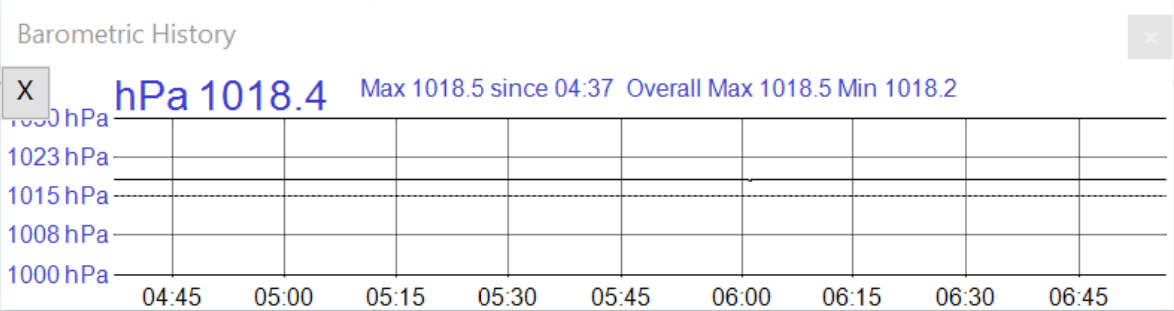
Barometric history. Please note that this instrument allows you to register the data by exporting the values to a CVS-formatted file with a fixed interval. Click on the X-button. See also Tweaks.
Barometer
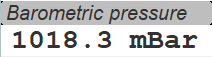
Latest value from the barometer.
Baro Dial
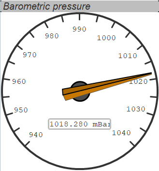
Latest value from the barometer if you prefer a dial. Oh, and you get more decimals as bonus for the numerical value!
COG
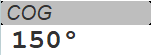
Course Over Ground.
Cursor
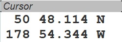
Position of the cursor.
The depicted position is South of the Delarof Islands, U.S.A.
Depth Graph
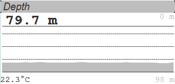
Depth as graph, also as numerical value and unit, also with the temperature of the water.
Depth
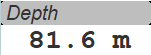
Depth in a numerical instrument.
From Ownship
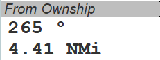
Position and the distance of the cursor from the actual position of the boat.
GPS Clock
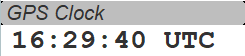
UTC time provided by the GPS.
GPS Compass
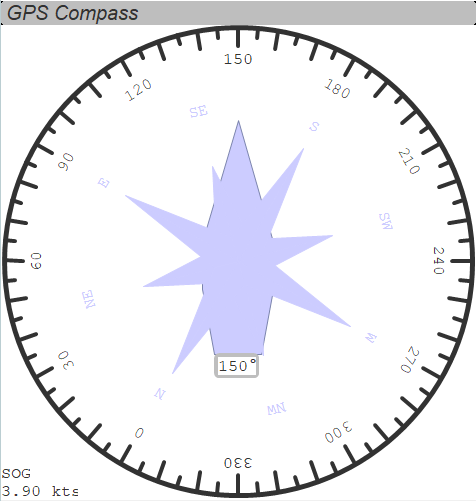
GPS Compass is actually Course on Ground (COG), giving also the numerical value together with the speed on ground.
Satellites in view
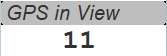
Number of satellites in view.
Satellite Status
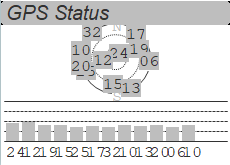
Provides a graphical, condensed summary about the satellites currently in view.
Heel
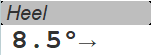
Heel angle, aka. “Roll”.
Arrow direction? Right = Starboard side, Left = Port side.
CPU clock
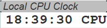
In a long passage, if you do not synchronize your computer clock with the GPS somehow, it will be drifting. See below.
GPS local time
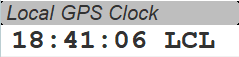
Local time from GPS satellites.
NOTE: in distributed systems the correct time synchronization between various devices is of uttermost importance! See above: compare your CPU’s time to this time (or to the GPS UTC time if you are running UTC time on your navigation computer). Do not let the CPU clock to drift away, readjust if necessary, or better still would be to syncronize all boat’s devices to the GPS if that is possible.
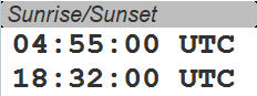
(local) Sunrise/Sunset
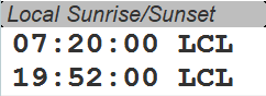
Sunrise and sunset in your current location using the local time.
Magnetic COG
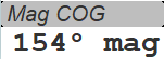
Magnetic Course on Ground.
Magnetic HDG
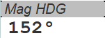
Magnetic Heading.
Moon Phase
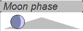
Moon phase in the current position referred to the GPS time.
Pitch
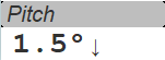
Pitch angle. Arrows are pointing the nose going up or down.
Position
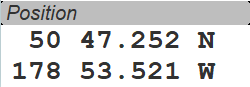
Current position of the boat.
Rudder angle graph
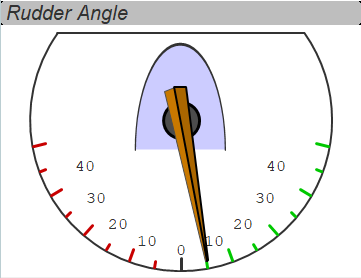
Rudder angle as graph.
Take the “needle” center point as the rudder shaft. When the rudder turns on the starboard side ( = right on the graph = pushing the tiller to the port side), the boat turns to starboard direction.
Rudder angle
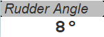
Numerical presentation of the above graph. Negative values are to the port side and positive values to the starboard side.
SOG
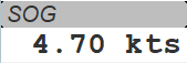
Speed on Ground.
SOG Speedometer
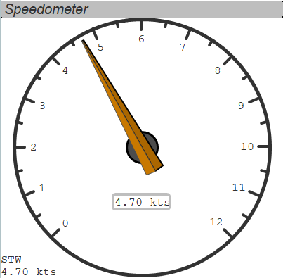
Speedometer - the classical OpenCPN dial, presenting the Speed On Ground, together with the Speed Through Water as a numerical side value.
STW
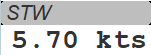
Speed Through Water. Keep your paddle wheel clean. This is an important input to Tactics functions!
Sum Log
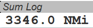
Total log distance given by your navigation system.
Sunrise and Sunset
There is the same instrument for the local time in the current location. This is the same but with the UTC time.
Trip Log
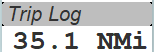
Trip distance given by your navigation system.
True Compass
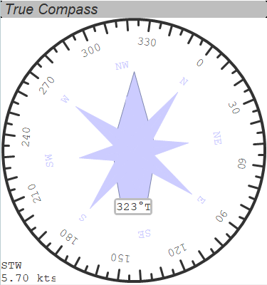
True Compass shows HDT, true heading direction and its value. Speed through water (STW) is shown as a side value.
True Heading
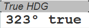
Same as True Compass, i.e. true heading direction as numerical value.
TWA
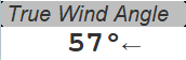
True Wind Angle
TWS
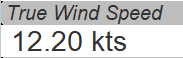
True Wind Speed
TWA/TWS Dial
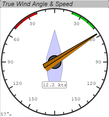
True Wind Angle and True Wind Speed dial.
TWD/TWS Dial
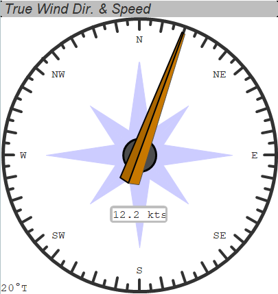
True Wind Direction and True Wind Speed dial.
VMG (route)
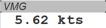
Velocity Made Good - not indicating speed of a sailboat towards the direction of the wind. See Tactics instrument for it. This value is an OpenCPN term defining the speed of the boat to the direction of the next marker in an active OpenCPN route.
Tactics uses this term also in its perhaps more classical meaning for the sailing boats. Nevertheless, it is flexibile enough to use another term since the OpenCPN one cannot be changed. See the Tweaks: the abbreviation can be changed to your liking in all Tactics functions.
Water temperature
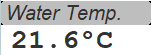 |
| 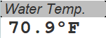
Water temperature. Only you know from where the temperature is taken and how well it is calibrated. It is better to get one’s feet wet before jumping in!
Wind History
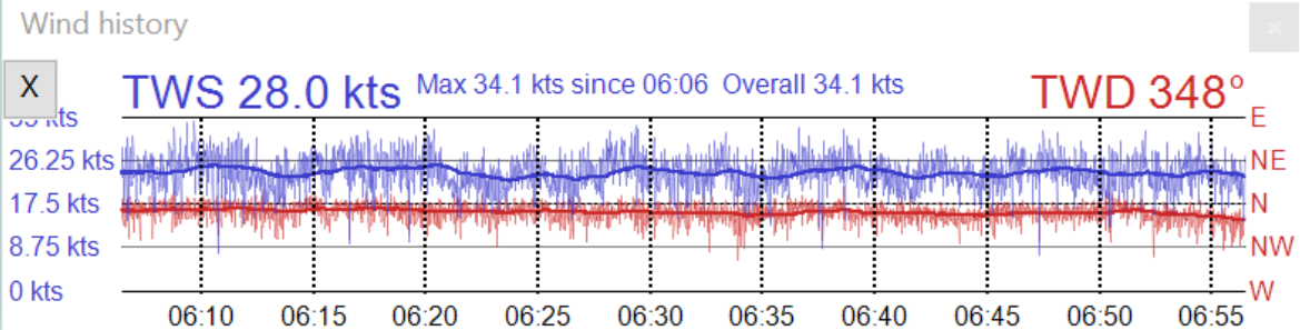
True Wind Direction and True Wind Speed data history. Please note that this instrument allows you to register the data by exporting the values to a CVS-formatted file with a fixed interval. Click on the X-button. See also Tweaks. The Tactics chapter explains the saving of the data from the GUI more precisely.